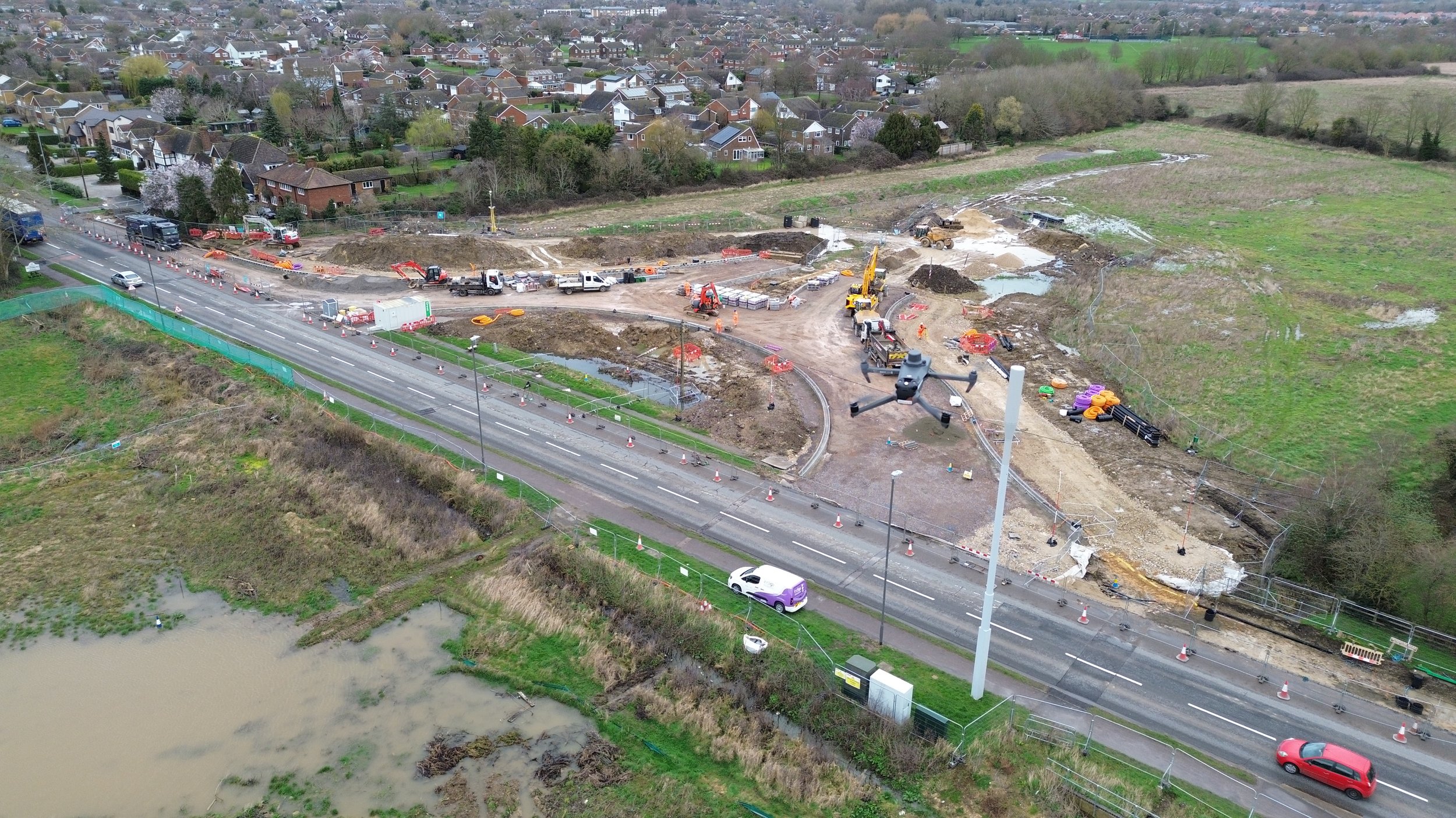
South East Aylesbury Link Road
A new take on the googles street view but with the added benefits of a view from above. Easily navigate through the scheme to see progress from a specific day. To navigate, just click the green location markers
A unique way to see progression on the scheme. Each "Tour" within the site is from the exact same location but on different days. Navigate your way through the images to get a great feel of the progress being made
Explore key aspects of the scheme that have been produced in to 3D files. Orbit, zoom and pan around these areas as if you have taken control of the drone yourself!
Pan through the 4 layout plans of the scheme overlaid with the 2D drone scan. This effectively sets your entire works out on to your site which enables you plan and monitor progress.
Check out a collection of some of the best aerial video footage taken on the scheme with our high end videography air drones
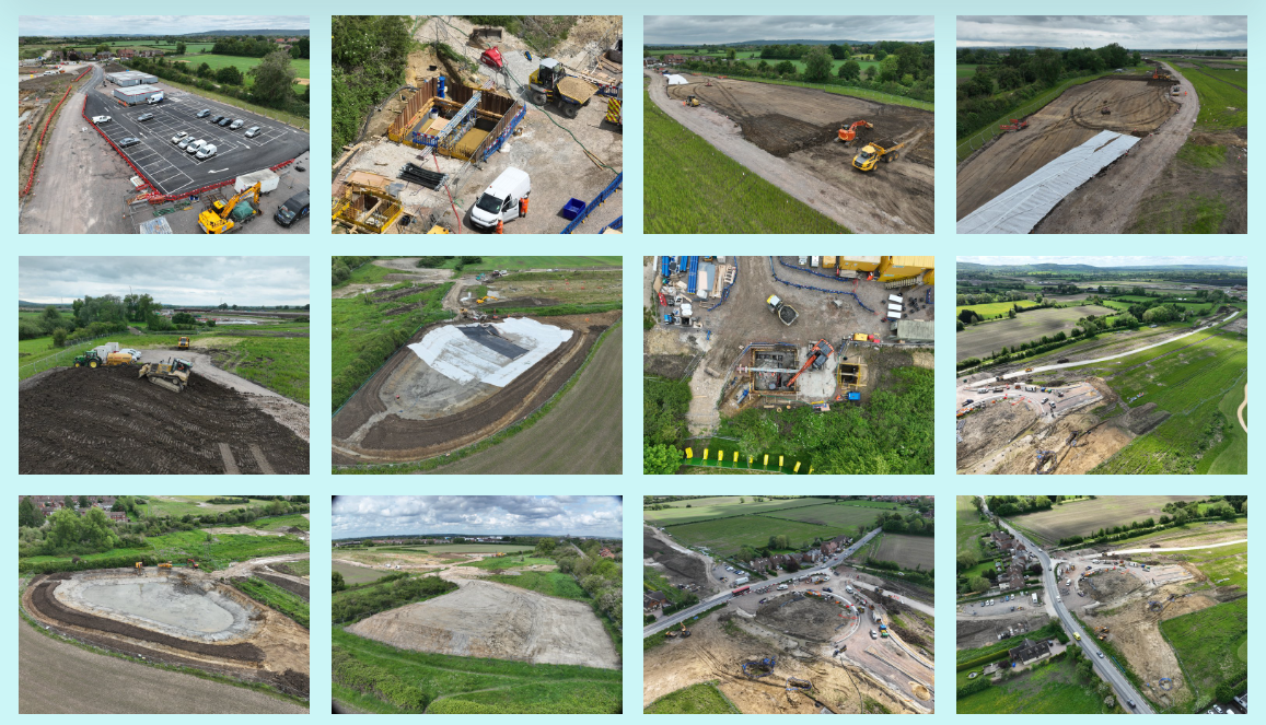
A selection of images captured by the drone showing off some of the major milestones on the scheme


